
Weld County Block Source Map
A block lookup works best as a set of linked records, not as one all-purpose directory. The GIS map locates parcels. The Assessor report supplies an account, listed owners, address fields, and legal description. The recorder index follows instruments tied to each account or legal description. A voter-file request may expose permitted fields, but the public web form cannot enumerate a block. Greeley’s Neighborhood Watch program and the City Savvy workshop offer civic connections without publishing member names. Historical directories and maps add context for an earlier block.
| Source | What It Shows About a Block | Access |
|---|---|---|
| Weld GIS Property Map | Parcel boundaries, map position, adjoining accounts, and available public layers | Online map; exact live layer names need current capture |
| Assessor Property Data Search | Listed owner, situs and mailing distinction, parcel and legal description, value and building fields | Free account or address search; not a full occupant list |
| Weld recorder index | Recorded transfers and instruments for adjoining parcels | Free index from 1865; images and copies are charged |
| Greeley Neighborhood Watch | Block-captain and community-safety contact path | Application and police support; no public member directory |
| City Savvy HOA Workshop | City resource connection for neighborhood leaders and HOA members | April 3, 2026 notice; no public roster |
| Voter-file request | Potential public fields such as address, status, affiliation, and voting history | Secretary of State request products and legal limits |
| Greeley Code Compliance | Selected address, case, name, and date rows | City public table; incomplete by design |
| HPLD and Hazel E. Johnson directories | Historical street-to-occupant clues and neighborhood change | Library or research-center access; reverse runs need confirmation |
| Historic Sanborn maps | Building footprints, uses, materials, street and block context | Library, museum, archive, and survey references |
Each row answers a different question. Property records show listed ownership. They do not show every person who uses a parcel. A historical directory may show an occupant when the Assessor shows an owner elsewhere. A civic group can help a block connect without releasing a membership file. Keep those meanings separate when checking neighbors.
Note: Adjacent parcels can share a street label while carrying different accounts, legal descriptions, or postal cities.
Weld County Parcel Walk
The exact adjacent-parcel method begins in the Weld County GIS Property Map. The current research did not establish a named buffer or radius control in the live application, so the dependable instruction is to select adjoining polygons one by one. Every click creates a verification task. Save the account and legal description before moving to the next parcel.
- Search the known address in the GIS map and zoom until parcel edges and street labels are clear.
- Click the known polygon and record its account, legal description, parcel number, and map position.
- Pan around the block and click each adjoining polygon. Record each account instead of copying only a street number.
- Run every account through the Assessor report and compare its situs address with the owner mailing address.
- Use the legal description to separate a true adjoining parcel from a nearby parcel across an alley, road, ditch, or boundary.
- Move to the recorder only after the parcel key is saved. Use the account, current owner, subdivision, block, lot, or section-township-range as the bridge.
This is a block method, not a promise of a radius search. If the goal expands to every address on a named street, use the Weld County street directory for the broader address chain.
Weld County Assessor Block Cards
The Assessor’s Property Data Search uses one required text box labeled Search, with a maximum length of 50. It accepts a full or partial address, owner name, account, subdivision, parcel, legal description, or section-township-range. A subdivision can be paired with block and lot terms. A parcel can be entered in a full hyphenated form such as 05-123-99999, or by useful leading characters. There is no dedicated all-neighbors button and no dedicated ZIP-wide filter.
A parcel report can include the account, situs address, owner name or names, owner mailing address, parcel number, property class, tax year, legal lot, block, lot, subdivision, land area, section, township, range, building count, construction, finished and unfinished areas, garage and porch areas, year built, values, and sale or document history. The research sample also linked to the property map, comparable-sales search, Notice of Value, tax account, and recording-document history.
- Situs address
- The physical location assigned to the parcel. It is the first address clue for a block map.
- Mailing address
- The destination for tax correspondence. It can differ from the situs and does not prove physical presence.
- Legal description
- The land key, often expressed through subdivision, block, lot, or section, township, and range.
- Parcel account
- The Assessor identifier used to return a report and connect the parcel to map and document history.
- Owner-occupancy indicator
- A tax classification or claimed occupancy clue when present, not a complete list of household members.
That last distinction prevents a common error in neighbor searches. A named owner, a mailing line, or a homestead indicator can anchor a parcel. None proves who is present on a particular day.
Recorder Links Between Weld Parcels
Recorded documents add a chain around an adjoining parcel. Start with the current owner as grantee, meaning the party receiving an interest. Find the purchase instrument, note the grantor, meaning the party transferring an interest, and search that prior party as grantor in an earlier record. Use reception number, recording date, instrument type, subdivision, block, lot, legal description, and related-document links to distinguish a deed from a plat, affidavit, release, or correction.
The Weld County recorder index reaches back to 1865. The index is a catalog, not a legal determination. A row can identify the parties and date while the original image or certified copy carries the operative wording. The recording office’s index and document resources are the right route when a block question turns into a title or transfer question. Do not infer a current neighbor from an old grantee alone.
A practical worksheet preserves the account, reception number, recorded date, instrument code, grantor, grantee, legal-description context, source URL, and access date. If an image link fails, the reception number still gives the Clerk and Recorder a precise retrieval clue.
Greeley Neighborhood Watch Blocks
Greeley’s official Neighborhood Watch program is a civic route, not a neighbor directory. A watch can be its own group or function through a neighborhood association. The program uses block captains, begins with an application, and includes a police-supported initial meeting. The city does not publish a citywide list of watch members or a complete directory of neighborhood associations.
The Greeley Neighborhood Watch resource describes the block-captain process and police contact path.
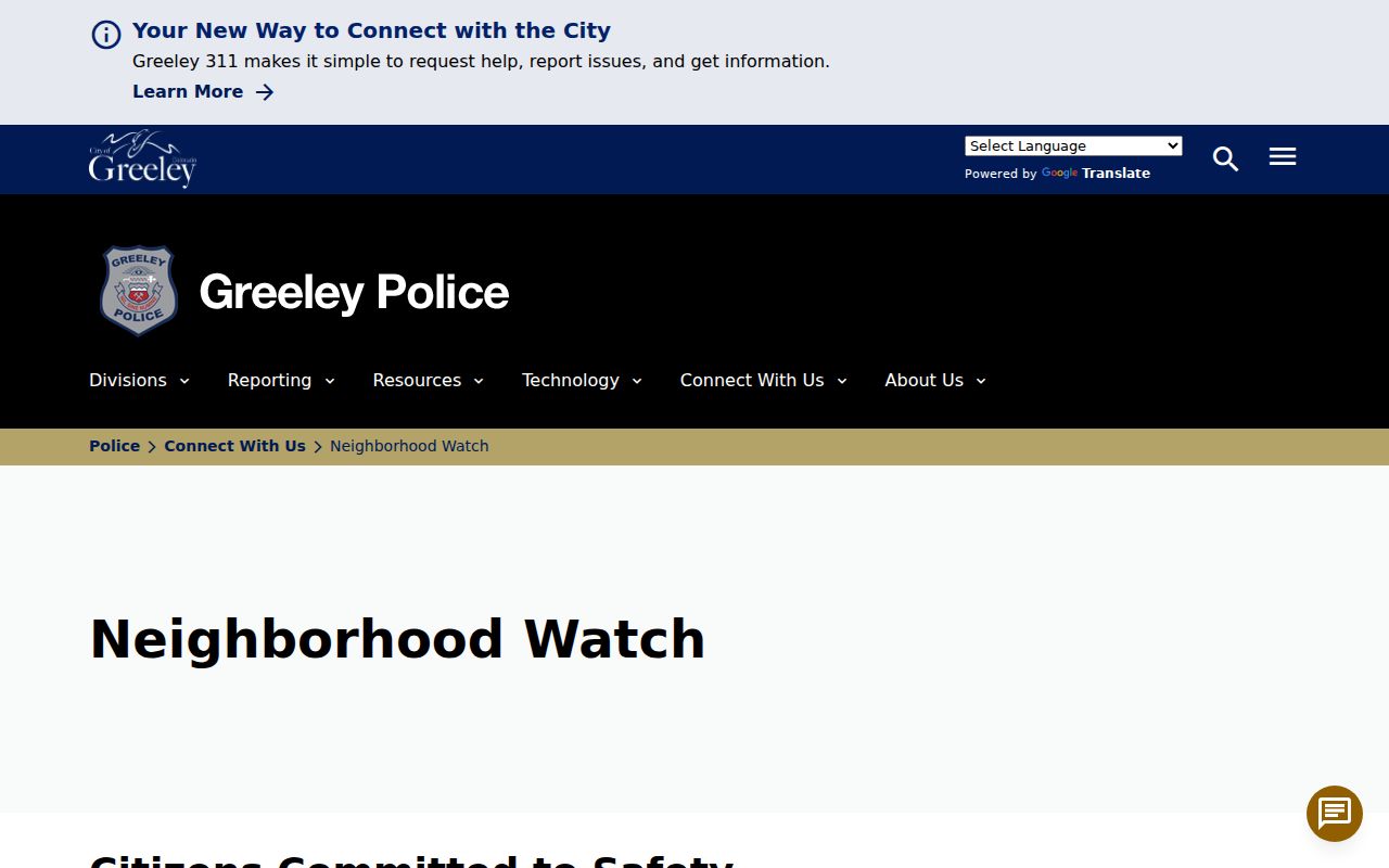
The image belongs beside the program’s access path, not beside a list of names. A block captain can help residents reach a civic resource, while private membership and household details remain with the people or organization involved.
City Savvy: A Resource, Not a Roster
On April 3, 2026, Greeley announced the City Savvy HOA Workshop as a Community Development Office resource for neighborhood leaders and HOA members. The notice is useful for finding current city guidance and neighborhood contacts. It does not publish an association roster, boundaries, or a complete list of members. That gap is material: research did not locate a current official citywide neighborhood-association directory that could support a claim of complete coverage.
The City Savvy workshop notice is the source for the date and resource role.
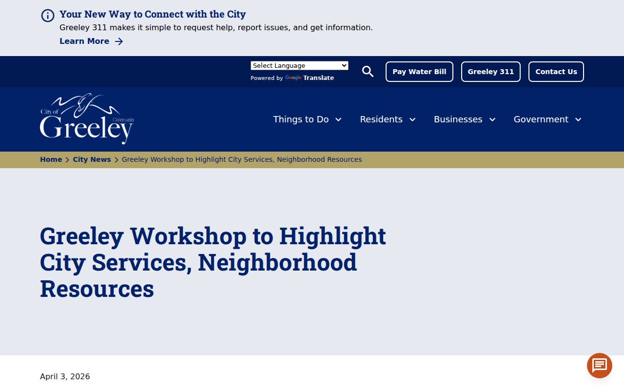
Use the workshop as a current connection point for neighborhood leaders, not as evidence that a public HOA list exists. Any association name, boundary, contact, or joining rule should be confirmed with that association or the city before it is repeated.
| Community Resource | Confirmed Status | Directory Boundary |
|---|---|---|
| Greeley Neighborhood Watch | Named police program using block captains and an application | No public member roster |
| City Savvy HOA Workshop | Named April 2026 Community Development Office resource | No association roster |
| Neighborhood associations | May support a watch program | No complete official citywide names and boundaries directory located |
| HOAs | Workshop confirms a city resource for HOA leaders and members | Individual records are association-held |
| County Council and boards | Public civic bodies with meetings and contacts | Public meeting records, not block membership directories |
| Congregations, veterans, and civic clubs | May preserve public events and contacts | No unified official roster located |
Weld County Voter Data at Block Scale
Colorado’s public voter lookup is designed for an individual registration check. The form asks for first name, last name, ZIP, birthday in month/day/year format, and a CAPTCHA. It has no county dropdown, street address field, party filter, or block mode. A failed match can reflect a spelling issue, an old ZIP after a move, a confidential record, or an under-18 notice. It is not a way to enumerate neighbors.
Colorado permits specified public voter fields under C.R.S. section 1-2-227. A public request may include full name, residential address, party affiliation and date, phone if provided, gender identity if provided, birth year, active or inactive status, and prior-election participation. It does not reveal ballot choices. Full birthday, signature, identification numbers, email, and protected addresses are withheld. The Secretary of State’s data-request route uses a product and use process separate from the web lookup.
At block scale, request only the permitted fields needed for a lawful purpose. Do not reverse-engineer a protected voter, an Address Confidentiality Program participant, or a withheld address from nearby parcels. A voter record is a civic registration record, not proof that a person is at home or that every household member is registered there.
Note: The individual voter lookup confirms registration status for a known person, not the complete set of people around an address.
Weld County Election Map Context
The Weld County Elections Department provides precinct and district resources, ballot tools, results, polling-center information, and map links. Use the verified parcel from GIS as the handoff point. A ZIP or street name alone is not enough near a city line, special district, or rural boundary.
The election department image is a visual record of the official resource route for a Weld County neighbor lookup.
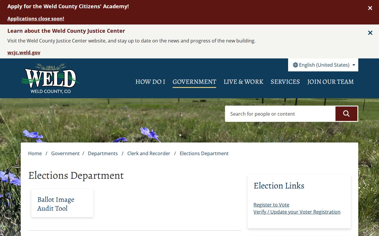
Election maps add civic geography to a block worksheet. They do not supply a public list of every neighbor, and they should not be used to infer a person’s vote or private participation beyond the fields released by the custodian.
Historical Clues Around Weld Blocks
Modern parcels are only one layer of a Weld County block. High Plains Library District local history preserves digitized images, oral histories, Greeley Tribune material, Colorado Historic Newspapers, Heritage Hub, and genealogy databases. The Hazel E. Johnson Research Center and Greeley History Museum add photographs, manuscripts, historic buildings, and local research help. UNC Archives and Special Collections and the Colorado State University finding aid can lead to older organizations, reports, and local collections.
The Greeley Tribune microfilm description begins on November 16, 1870 and continues to the present in the library and WCMI description. Newspaper notices, obituaries, meeting programs, and community stories can connect a block to a decade without turning private affiliation into a current neighbor list. Sanborn maps add building footprints, street numbers, materials, and use for dated snapshots. Oral histories add place memory that a parcel card cannot show.
The 2026 record initiatives add current context. The High Plains Library archive opening on June 27, 2026 strengthens the physical preservation route for newspapers and local collections. Greeley’s July 8, 2026 Spanish Colony survey adds maps, stories, and photographs for a rural community north of the city. These resources support civic and family-history research. They do not create a complete public directory of block residents.
Official Rolls and Commercial Tools
Commercial neighbor tools and official rolls serve different roles. A commercial compilation may combine public records, purchased data, and old listings into one result. That can make a search look easy, but the result may be stale, mismatched, or hard to trace. An official record is narrower and may require a request, yet it identifies the custodian, record type, date, and access limit. Use a commercial category only as a lead, never as proof of who lives around a Weld County address.
| Question | Official Rolls and Maps | Commercial Neighbor Tools |
|---|---|---|
| What is the source? | Named custodian such as Assessor, recorder, Elections, city, or library | Mixed feeds and compiled records |
| What does it prove? | A specific parcel, filing, released field, or historical item | A possible match that needs source checking |
| How current is it? | Record date and update practice are visible or requestable | Refresh date and match method may be unclear |
| What stays out? | Protected, private, sealed, withheld, or non-custodial data | May show copied data without the original context |
| Best use | Verify a parcel, transfer, civic boundary, or historical clue | Generate a lead for a lawful follow-up |
Weld County Neighbor Privacy Limits
A block can be mapped and its recorded parcels researched. That does not make every person, protected address, delivery record, utility account, or private association directory public. Property records show listed owners, not every occupant, visitor, family member, or household participant. DMV addresses are restricted under specialized rules, and utility customer records are not a public substitute for a parcel map.
Colorado’s Address Confidentiality Program can provide eligible survivors with a substitute address and mail forwarding. Protected-voter procedures can withhold an address when release creates a criminal-harassment or bodily-harm risk. Weld County also has a request route to block public dissemination of personal information for eligible public-safety and human-services personnel. Those protections can make a correct person invisible by design. Do not defeat them by joining nearby records.
Lawful use. Use a Weld County neighbor lookup for block history, civic connection, reconnecting, or personal safety awareness. Do not use records to watch, harass, intimidate, or harm another person.
Keep a dated worksheet with the map URL, account, legal description, source type, and uncertainty. When the question shifts from the immediate block to a whole street, use the street-level record path. When a source withholds a field, accept the boundary and contact the named custodian for its correction or request procedure.