
Weld County ZIP Service Map
A ZIP code is a postal service label, not a legal outline of Weld County. The table gives the 40 Weld-associated labels identified in the county research, with the place or rural area commonly tied to each label and a post-office clue. “Associated” matters. Several entries sit near a county edge, and the postal city can differ from the municipality shown in a parcel record. Use the table to choose a search path, then use USPS address-level verification before treating a ZIP as part of a resident record.
| ZIP | Areas Covered | Post Office | Notes |
|---|---|---|---|
| 80504 | Longmont, southwest Weld, Del Camino | Longmont | Cross-county service area; verify city and county from the parcel. |
| 80514 | Dacono | Dacono | Address-level boundary check required. |
| 80516 | Erie | Erie | Erie spans county boundaries; do not infer jurisdiction from the ZIP. |
| 80520 | Firestone | Firestone | Service and post-office use can vary by address. |
| 80530 | Frederick | Frederick | Verify municipality and county separately. |
| 80534 | Johnstown and nearby Weld | Johnstown | The Weld hazard plan names this ZIP among unincorporated responses. |
| 80542 | Mead | Mead | Multi-jurisdiction service area; verify the parcel. |
| 80543 | Milliken | Milliken | Municipal label; USPS assignment controls. |
| 80546 | Severance | Severance | Service and post-office use can vary. |
| 80550 | Windsor | Windsor | Current Windsor service label; verify the address boundary. |
| 80551 | Windsor | Windsor | Windsor-associated service label; validate each address. |
| 80603 | Brighton and northeast Weld | Brighton | Cross-county service area; the Weld hazard plan names it for unincorporated responses. |
| 80610 | Ault | Ault | Rural service area. |
| 80611 | Briggsdale | Briggsdale | Rural service area. |
| 80612 | Carr | Carr | Rural service area; county and place boundaries require a parcel check. |
| 80615 | Eaton | Eaton | Municipal service label. |
| 80620 | Evans | Evans | Municipal service label. |
| 80621 | Fort Lupton | Fort Lupton | Urban-edge context can cross a county line; verify the parcel. |
| 80622 | Galeton | Galeton | Rural service area. |
| 80623 | Gilcrest | Gilcrest | Post-office and service use can vary. |
| 80624 | Gill | Gill | Rural service area. |
| 80631 | Greeley | Greeley | Core Greeley service label; the Weld hazard plan also names it. |
| 80632 | Greeley | Greeley | Primarily mailing or post-office style use; validate the address. |
| 80633 | Greeley | Greeley | Primarily mailing or post-office style use; validate the address. |
| 80634 | Greeley | Greeley | Core Greeley service label. |
| 80638 | Greeley | Greeley | Unique or service label; validate every address. |
| 80639 | Greeley and UNC area | Greeley | Unique or service label; validate every address. |
| 80642 | Hudson | Hudson | Rural or multi-county edge context is possible. |
| 80643 | Keenesburg | Keenesburg | Municipal or rural service label. |
| 80644 | Kersey | Kersey | Municipal service label. |
| 80645 | La Salle | La Salle | Municipal service label. |
| 80646 | Lucerne | Lucerne | Rural service area. |
| 80648 | Nunn | Nunn | Municipal or rural service label. |
| 80650 | Pierce | Pierce | Municipal service label. |
| 80651 | Platteville | Platteville | Municipal service label. |
| 80652 | Roggen | Roggen | Rural service area. |
| 80729 | Grover | Grover | Rural service area. |
| 80732 | Hereford | Hereford | Rural service area. |
| 80742 | New Raymer | New Raymer | Rural service area; Raymer naming can vary in historical records. |
| 80754 | Stoneham | Stoneham | Rural service area. |
The table is a navigation aid, not a postal boundary file. Greeley labels such as 80631 and 80634 sit beside labels used mainly for mailing or post-office purposes. A rural label can cover a wide road network. Southwest entries may use Longmont or Erie as the postal city even when the parcel sits in Weld County. Keep the returned USPS ZIP, postal city, legal municipality, and county as separate fields.
Weld County ZIP Search Steps
The Weld County ZIP code directory becomes useful when a postal clue is turned into a stable record key. The Assessor does not provide a dedicated ZIP-wide filter. Its required 50-character Search box accepts a full or partial address, owner name, account, subdivision, parcel, legal description, or section-township-range. A ZIP may help locate the right address, but it is not the field that returns every parcel in that service area. GIS supplies the map handoff, and the voter system uses ZIP as one identity input rather than a block or county list.
- Run the complete address through the official USPS ZIP Code Lookup and save the returned ZIP and postal city.
- Enter the address, account, owner, subdivision, or legal description in the Weld County Assessor Property Data Search, then record the account and parcel.
- Open the Weld County GIS Property Map to confirm the parcel position and boundary context.
- Use the individual voter lookup only for a known person. Its ZIP field works with first name, last name, birthday, and CAPTCHA, not as a ZIP roster.
- For a permitted election-file request, follow the Colorado Secretary of State product and use rules rather than treating the web form as a street search.
Once the ZIP narrows the address set, the record trail changes scale. A reader who needs every parcel along a named street can move to the Weld County street directory for the address-first sequence. The ZIP code directory should not claim that a postal label itself identifies all people at an address.
Assessor Fields Behind a ZIP Search
A parcel search can resolve the difference between a postal label and a property record. Weld’s property portal returns a result list and a report link. The report may show the account, situs address, owner name, mailing address, parcel number, property class, tax year, legal lot, block, lot, subdivision, land area, section, township, range, building fields, values, and document history. The owner mailing address is useful when it differs from the situs address, but it points to tax correspondence. It does not prove that the listed owner is physically present.
| Search Field or Link | What It Accepts | What to Keep |
|---|---|---|
| Search | Required text, maximum 50 characters | Exact query and every candidate account. |
| Address | Full or partial address entered in Search | Situs address, account, and parcel. |
| Owner | Name entered in Search | Owner table, mailing line, and map match. |
| Account | Direct property account, such as R8975713 | Account report and document history. |
| Subdivision | Subdivision terms, with block and lot clues | Legal lot, block, and subdivision. |
| Parcel or API | First six characters or full hyphenated parcel | Parcel format and related report. |
| Section, township, range | Rural land description components | All three components for address continuity. |
| Help or Map Search | Instructions and map-based alternative | Map position and boundary clues. |
The distinction is central to any ZIP code directory. A postal ZIP can be broad, while an Assessor account is tied to one parcel and its legal description. A property card can list owners and building data, yet still omit occupants, visitors, family members, or other people connected to a home. Treat the card as a property record, then choose a separate custodian for voter, court, historical, or community questions.
Note: The Assessor account is the stable bridge from a verified postal address to parcel, map, and document-history records.
USPS Address Checks for Weld County
The official USPS tool is the right stop before assigning a ZIP to a real address. The research capture did not establish the current live labels for every USPS input, so the safe instruction is to enter the complete street address, city, and state, record the returned ZIP, and repeat the check whenever an address has a unit, road alias, or rural route. USPS controls delivery geography. Weld County controls parcels, legal descriptions, elections, and local records.
The USPS address-level ZIP lookup is the source used to verify a specific delivery address before a ZIP code directory entry is written.
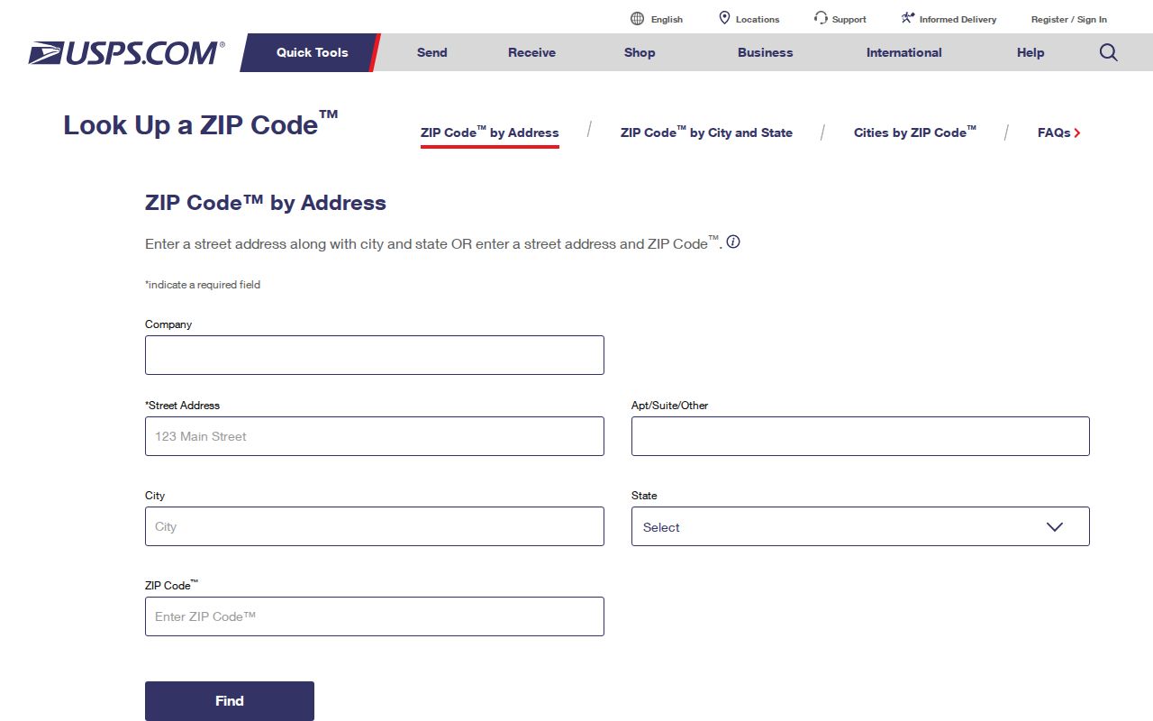
That address-level result should be stored with the lookup date and the exact address string. It is more precise than assigning a ZIP from a town name, a county line, or a nearby parcel. A corrected postal result also gives the next researcher a clear reason to revisit a record when service routes change.
Greeley ZIP Labels and City Lines
Greeley is the clearest local example of why a ZIP code directory cannot double as a city directory. The 80631 and 80634 labels are core Greeley service labels, while 80632, 80633, 80638, and 80639 are described in the research as mailing, post-office, unique, or service labels that still require address validation. The postal city is a delivery clue. The Assessor’s situs address and map position answer a different question.
The same mismatch appears at the county edge. An address carrying a Longmont, Erie, Brighton, Johnstown, or Fort Lupton label may fall outside the named city or outside Weld County. Conversely, an unincorporated Weld parcel can receive a city post-office label. This is normal for a county that covers about 4,017 square miles and includes urban centers, smaller towns, and rural land. A record search should display “ZIP service area” separately from “municipality” and “county verified.”
Boundary check. A postal city names a delivery route. Confirm the legal municipality and Weld County location with the parcel, legal description, or official map before grouping residents by city.
Southwest Weld County ZIP Crossings
The southwest labels show how a ZIP can cross a county or city story. ZIP 80504 is associated with Longmont, southwest Weld, and Del Camino. ZIP 80516 is associated with Erie, which spans county boundaries. ZIP 80514 is tied to Dacono, while 80520 and 80530 point to Firestone and Frederick. These labels help a researcher choose a starting place, but they do not replace an account number or a legal description.
For each edge address, preserve four values: the USPS ZIP, the postal city, the municipality, and the county. Then add the Assessor account or parcel when the question concerns property. If the address is rural or appears under more than one historical road name, add section, township, range, subdivision, block, and lot. The resulting record can survive a postal label change better than a ZIP-only note.
Rural Weld County ZIP Clues
Rural ZIPs need more than a town string. Ault, Briggsdale, Carr, Galeton, Gill, Hudson, Lucerne, Nunn, Pierce, Platteville, Roggen, Grover, Hereford, New Raymer, and Stoneham each serve a rural or municipal context in the table. Historic Weld road research adds another layer: county roads were built or recorded in segments, and a single road number can carry different historic identifiers along different stretches.
When a current street search fails, test the county-road number, older road name, section-township-range, subdivision, and parcel. The 1937 road book is a bridge for rural address research. Local directories, newspapers, WCMI source codes, and Sanborn maps can then connect an old post-office label to a named person or block. The ZIP code directory is strongest when it hands a postal clue to those stable keys rather than treating the ZIP as the final answer.
Weld County Situs and Mailing Addresses
Three address terms must stay distinct. A situs address is the physical location of the parcel. A mailing address is where tax notices or other correspondence are sent. A legal description identifies the land through subdivision, block, lot, or section, township, and range. One property can carry all three, and a ZIP may appear on only one of them. The parcel account is the practical bridge between the address strings and the county systems.
- ZIP code
- A five-digit USPS service label used to route mail. It is not a county, city, or parcel boundary.
- ZIP+4
- The ZIP code plus four extra digits that narrow delivery within a route or building. It does not change the legal location.
- PO-box ZIP
- A label used mainly for post-office box or special mailing service. It may not describe a street-delivery area.
- Unique ZIP
- A postal label assigned for a particular institution or limited service use. Verify the actual address before treating it as a neighborhood.
- Carrier route
- A delivery sequence within a postal service area. It is useful for mail operations, not a public resident roster.
These definitions keep a ZIP code directory from blurring delivery, land, and people records. They also explain why a voter lookup can require ZIP while the Assessor search does not offer a ZIP filter.
Weld County Election Map Handoff
After USPS verification and parcel matching, an election map can add precinct and district context. The Weld County election maps page points to precinct and electoral-district resources and to the Property Portal for boundary context. The handoff is address first, map second. A ZIP does not determine a precinct by itself, especially near an incorporated or county boundary.
The second image is the election-map resource captured for the Weld County ZIP code directory. Its role is to show the public map route, not to turn a postal label into a voter list.
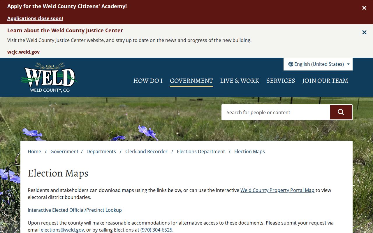
Use the map to compare the verified parcel with precinct and district boundaries. The Colorado voter web lookup remains an individual status tool with required name, ZIP, birthday, and CAPTCHA fields. A public voter-file request is a separate route under C.R.S. section 1-2-227, with protected fields and use limits.
Note: A precinct map contextualizes a verified address, but it never changes the USPS service label or legal parcel boundary.
Weld County ZIP Directory Stop Signs
A ZIP code directory should stop short of a claim that every resident in a postal area has been identified. The Assessor lists property owners, not every occupant. The voter lookup does not enumerate a street or ZIP. Protected voters and Address Confidentiality Program participants may be hidden by design. Court, vital, DMV, utility, sealed, juvenile, and private association records have their own custodians and limits.
For a lawful personal search, keep the minimum needed address data, cite the source and access date, and separate what the record says from what it merely suggests. Use the Weld County Clerk and Recorder Elections Department for election questions, the Assessor for parcel questions, and the Weld County Public Information Office for a narrow Colorado Open Records Act request. A postal label can start the trail. It cannot finish it.